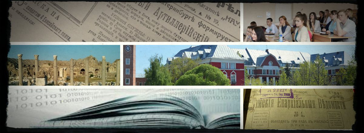
| Коллекция “Германские документы Первой Мировой войны (Фонд 500, Опись 12519) поступила в Центральных архив Министерства обороны РФ (ЦА МО РФ) в 1953-1961 годах из Военно-научного управления и Генерального штаба Вооруженных Сил СССР.
Коллекция включает 36,000 страниц ведомственных материалов Генерального штаба, штабов и начальников войск, войсковых соединений, Военного министерства Пруссии, Министерства внутренних дел, Министерства иностранных дел и других организаций. В их число входят приказы, распоряжения, переписка и другие документы и публикации, в большинстве своем появившиеся в период с 1910 по 1919 гг. Наибольшее количество документов составляют журналы боевых действий воинских частей и донесения о боевых действиях (84 дела), карты и схемы (146 дел), личные дела военнослужащих (85) и другие документы по учету личного состава, включая финансовые документы на выдачу денежного содержания личному составу (29 дел). Имеются перечни воинских частей, обзоры об их формировании, развертыванию, ведению боевых действий, обеспечению боеприпасами, применению химических веществ, материалы спецпропаганды в армии противника, а также разведывательные и информационные сводки. В коллекции также присутствуют материалы о внешней и внутриполитической обстановке Германии, инструкции о несении службы, сведения о потопленных и поврежденных кораблях. Несколько дел фонда включают материалы о подготовке и результатах 2-й Гаагской конференции, русско-японской войне 1904 г., мирном договоре и экономических переговорах между Союзом четырех держав и Румынией |
Ключевое слово: картография
Map Collection
The David Rumsey Map Collection was started over 25 years ago and contains more than 150,000 maps. The collection focuses on rare 18th and 19th century maps of North and South America, although it also has maps of the World, Asia, Africa, Europe, and Oceania. The collection includes atlases, wall maps, globes, school geographies, pocket maps, books of exploration, maritime charts, and a variety of cartographic materials including pocket, wall, children's, and manuscript maps. Items range in date from about 1700 to 1950s.
Digitization of the collection began in 1996 and there are now over 55,000 items online, with new additions added regularly. The site is free and open to the public. Here viewers have access not only to high resolution images of maps that are extensively cataloged, but also to a variety of tools that allow to users to compare, analyze, and view items in new and experimental ways.
Maps are uniquely suited to high-resolution scanning because of the large amount of detailed information they contain. In their original form, maps and atlases can be large, delicate, and unwieldy. Digitization increases their accessibility, and when combined with online catalogs, they can be searched in a variety of ways. The site allows public access to rare maps that have been hidden or available only to a few.
With Luna Imaging's Insight® software, the maps are experienced in a revolutionary way. Multiple maps from different time periods can be viewed side-by-side. Viewers can also create their own collections of maps that hold particular interest by saving groups of images. Complete cataloging data accompany each image, enabling in-depth searches of the collection.
Materials created in America and that illustrate the evolution of the country's history, culture, and population distinguish the collection. Close inspection of the maps often reveals the growth and decline of towns, mining excavations, the unfolding of the railroads, and the "discovery" of the American West by European explorers. The collection also includes European imprints containing maps of the Americas that were influential to American cartographers, as well as maps of other parts of the world distinguished by great craftsmanship, significance, and beauty.
A more detailed description of the evolution of the physical collection into the online collection can be found in "State of the Art", an article that originally appeared in Mercator's World Magazine.
Источник описания:David Rumsey Map Collection
History and Geography of Europe and the World
You will find in our stock, the different versions of the Periodical Historical Atlas of Europe, several digitized antique maps and the Euratlas Georeferenced Historical Vector Data covering 2000 years of European history.
Our Web Maps
Our history and geography maps were drawn by Christos Nüssli on the basis of several references and primary sources available in our Vector and GIS Maps section. The historical maps were transferred to a geographic information system by Marc-Antoine Nüssli.
Some of our maps are available to Euratlas-Info members for free.
Источник описания:History and Geography of Europe and the World
Бородкин Л.И. Архивы МЧД на географической карте
Геосинхрония — Атлас всемирной истории
На ресурсе рассмотрены 5 тысяч лет развития цивилизации. Информация Представлена в картах, схемах и таблицах, упорядоченных в хронологическом порядке. Таблицы династий и правителей. Приведены карты и схемы по всеобщей истории; схемы образования и карты древних государств. Геосинхрония - является дочерним проектом Хронос.
